
- Code 3408
- For sale, for rent For sale
- Type Land
- Land size 1750 m²
- Region Olympic coast
- Location Macedonia (Greece) | Katerini (Pieria Prefecture)
Details
- Beach: sandy
- Other amenities: water and electricity supply
- Distance from sea: 1500 m
- Distance to nearest town: 0,3 km
- Distance from airport: 43 km
Description
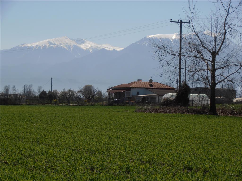
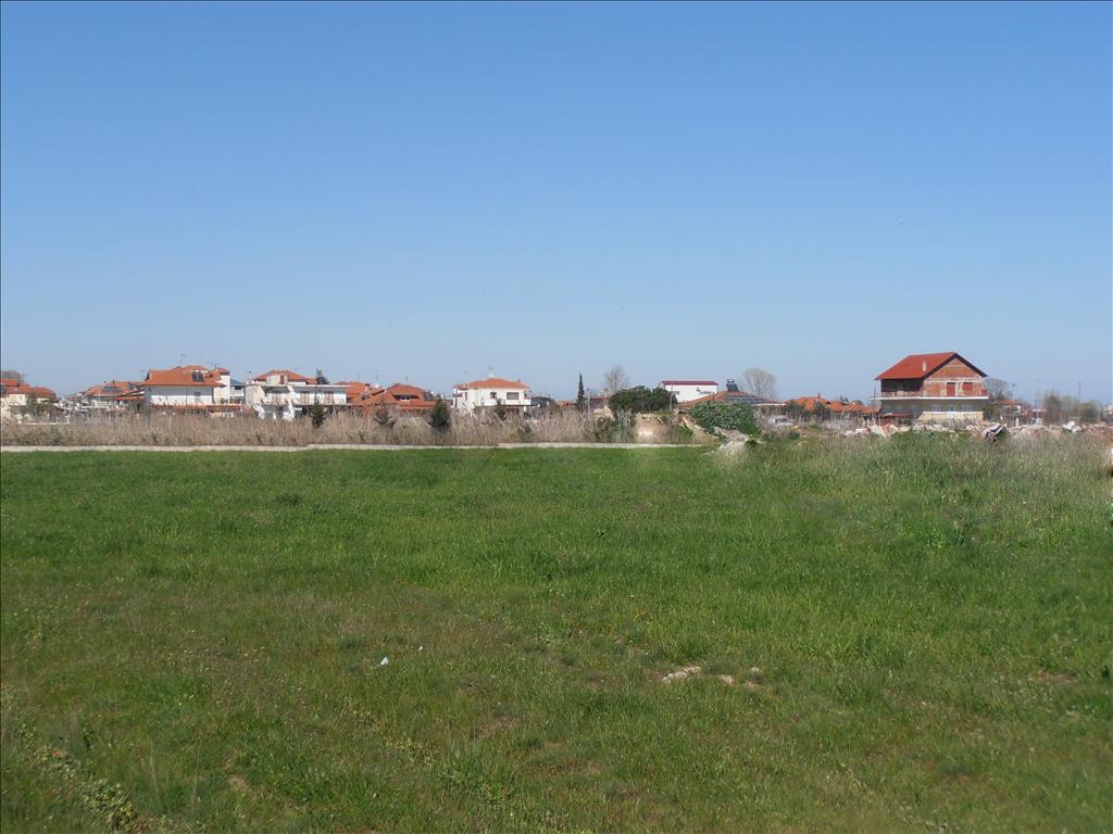
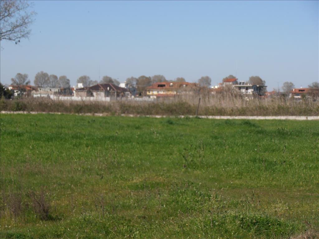
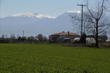
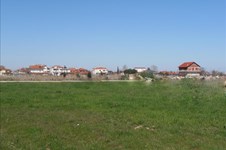
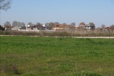
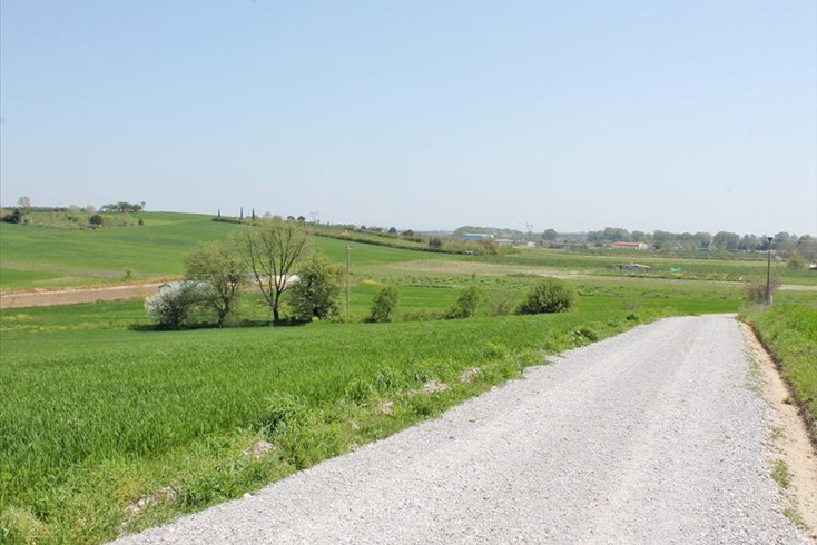
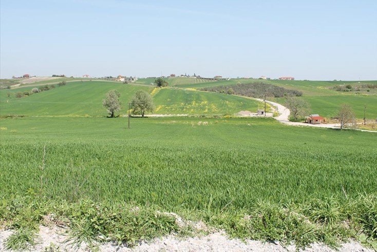
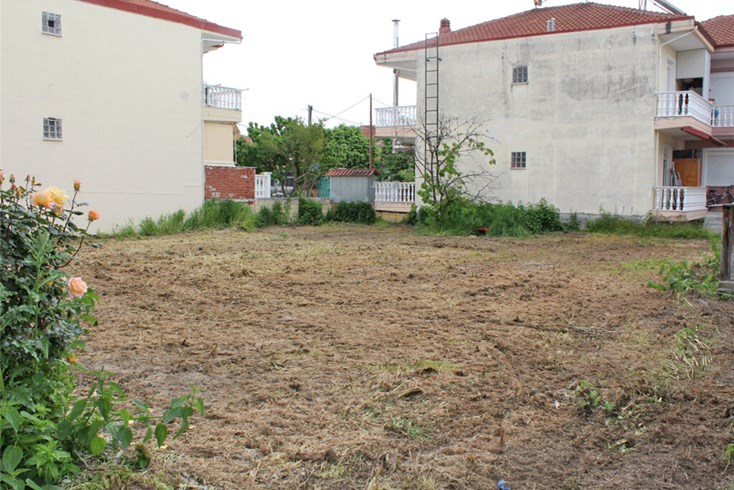
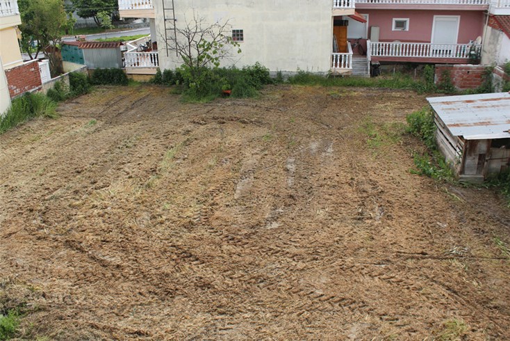
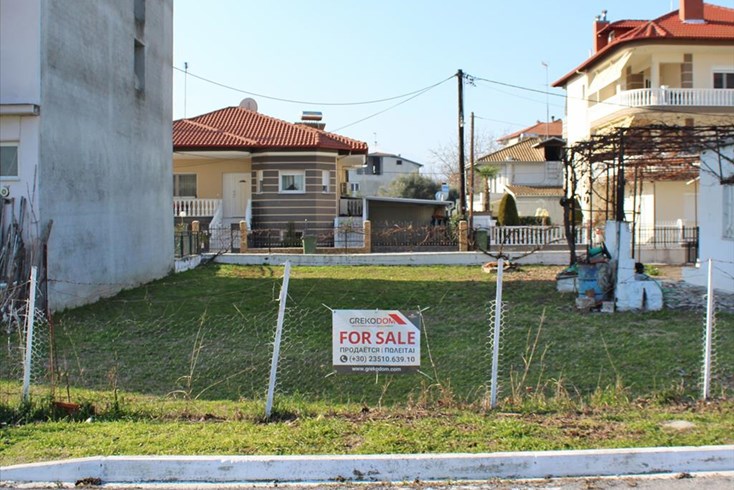
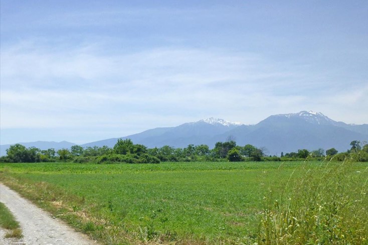
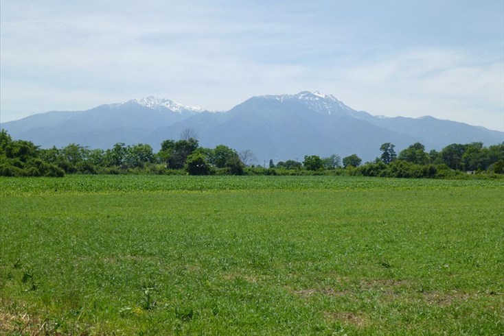
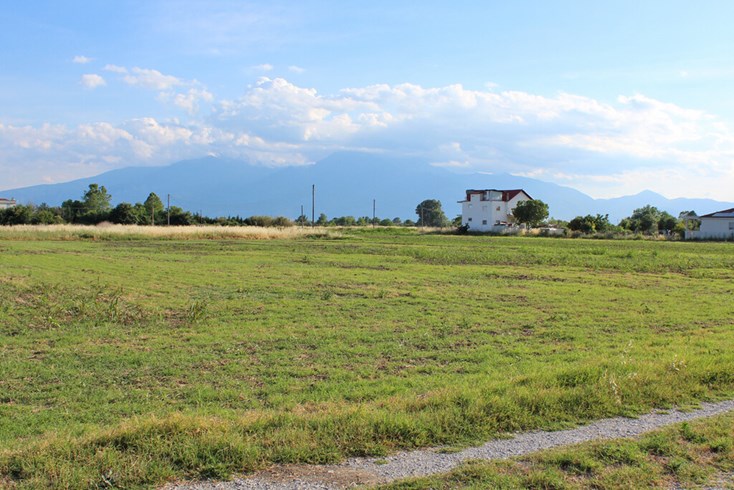
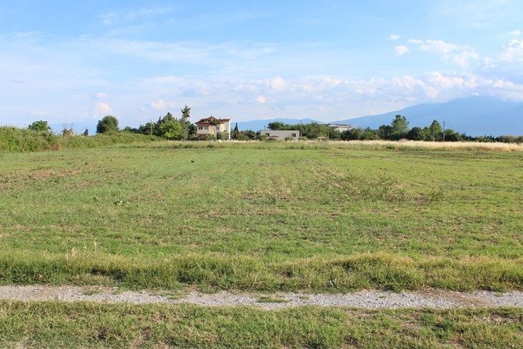
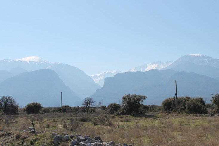
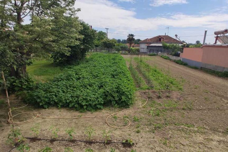
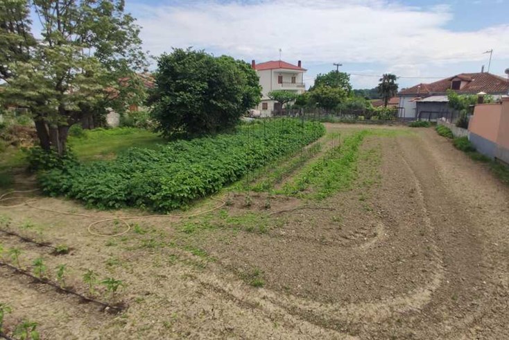
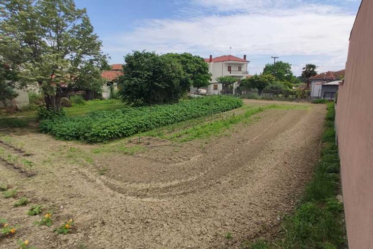
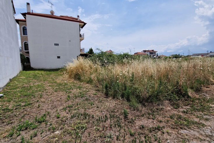
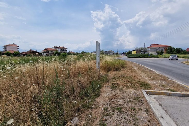
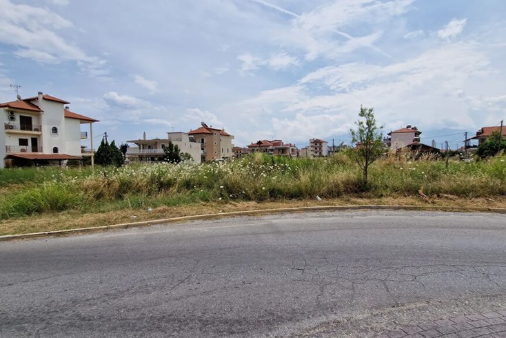
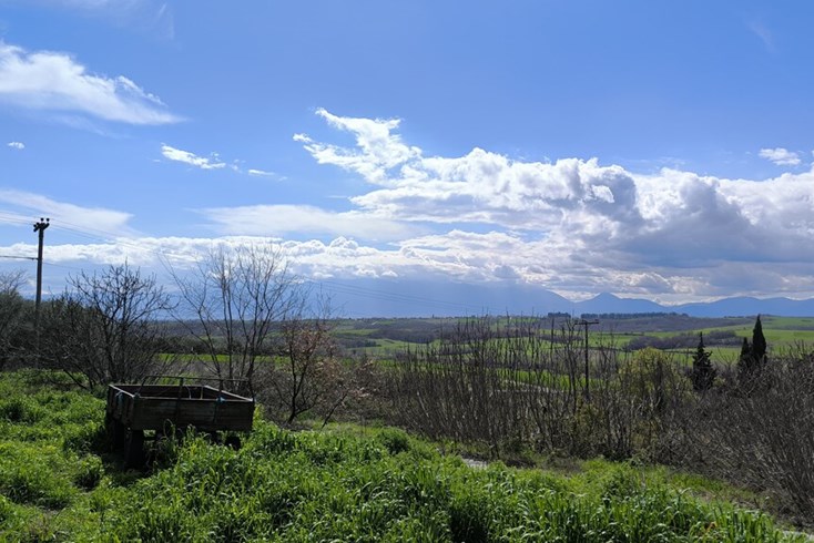
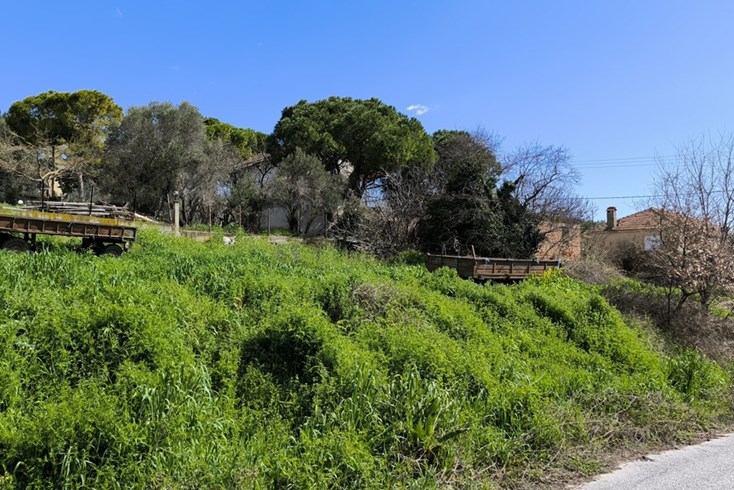
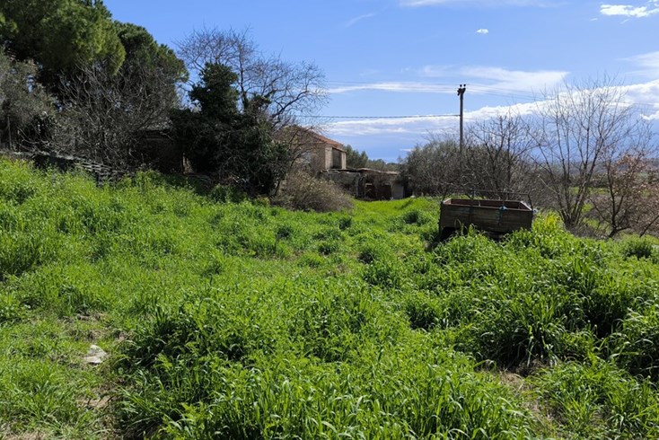
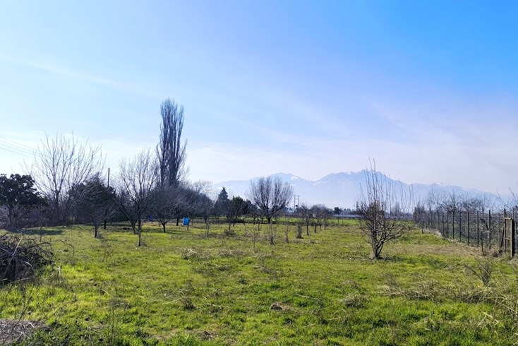
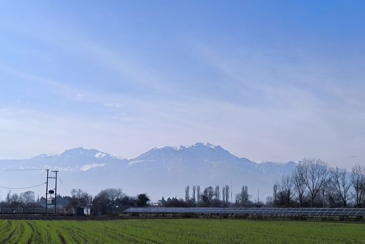
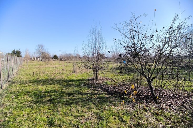
For sale land of 1750 sq.meters on the Olympic Coast. The territory has: water supply, electricity supply. Building permission for 55 sq.meters. The land has a mountain view.
Plots are located 2 km from the sea and 500 meters from a village with a developed infrastructure. Pieria is popular for itsunspoilt beaches and many historical locations- easily and quickly accessible.
The above information is based exclusively on information provided by the property owner to our company, which are subject to any typographical errors or price change by him.
PURSUANT TO LAW 4072/2012, IN ORDER TO VIEW THE PROPERTY, IT IS NECESSARY TO PROVIDE YOUR ID AND TAX NUMBER WHICH MUST ME INDICATED IN THE DEMONSTRATION AGREEMENT.
The indication on the map does not indicate the exact location of the property but the general area in which it is located. For any other information contact us.
Location
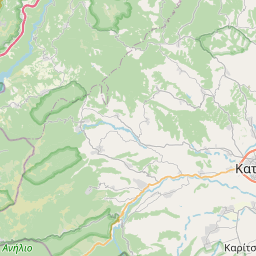
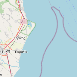
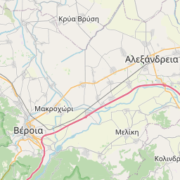
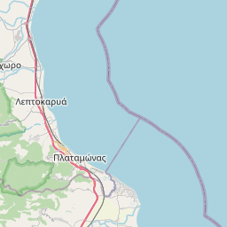
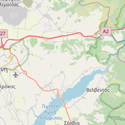
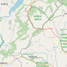

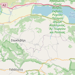
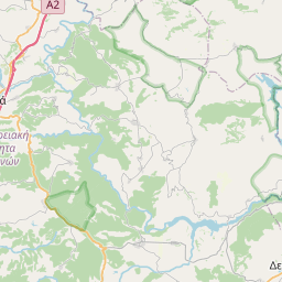
Leaflet © OpenStreetMap contributors
Similar realties
Recommended
For sale
35 000 € 6 €/m²
- Code 31017
- Sq. Meters 5325 m²
Recommended
For sale
35 000 € 100 €/m²
- Code 37558
- Sq. Meters 350 m²
Recommended
For sale
30 000 € 150 €/m²
- Code 43171
- Sq. Meters 200 m²
Recommended
For sale
25 000 € 5 €/m²
- Code 43222
- Sq. Meters 4500 m²
Recommended
For sale
36 000 € 12 €/m²
- Code 47485
- Sq. Meters 2905 m²
Recommended
For sale
30 000 € 50 €/m²
- Code 53002
- Sq. Meters 600 m²
Recommended
For sale
30 000 € 75 €/m²
- Code 54509
- Sq. Meters 400 m²
Recommended
For sale
22 750 € 91 €/m²
- Code 57431
- Sq. Meters 250 m²
Recommended
For sale
25 000 € 19 €/m²
- Code 58373
- Sq. Meters 1274 m²
Recommended
For sale
22 000 € 7 €/m²
- Code 62101
- Sq. Meters 2829 m²

Subscribe to our newsletter
News
Real Estate in Greece
Useful links

© 2025 Grekodom Development. All Rights Reserved.