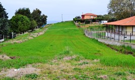
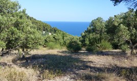
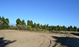
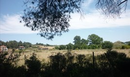
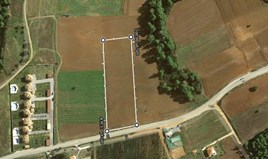
For Sale - Land 15000 m² in Kassandra, Chalkidiki
150 000 €
120 000 €
1


Location
Greece
Ελλάδα
Ελλάδα
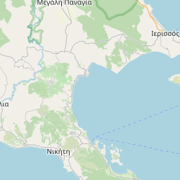
Chalkidiki (Macedonia)
Χαλκιδική (Μακεδονία)
Χαλκιδική (Μακεδονία)
Polichrono (Kassandra)
Πολύχρονο (Κασσάνδρα)
Πολύχρονο (Κασσάνδρα)
Details
Code
7016
7016
Region
Kassandra
Kassandra
Type
Land
Land
Category
For Sale
For Sale
Land size
15000 m²
15000 m²
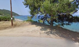
Distance from sea
2200 m
2200 m
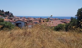
Distance to nearest town
1,8 km
1,8 km
Distance from airport
75 km
75 km
Description
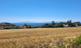
For sale land of 15000 sq.meters in Kassandra, Chalkidiki. The territory has: water supply, electricity supply. Building permission for 200 sq.meters.
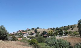
The land has a wonderfull sea view, mountain view, city view, forest view.
The above information is based exclusively on information provided by the property owner to our company, which are subject to any typographical errors or price change by him.
PURSUANT TO LAW 4072/2012, IN ORDER TO VIEW THE PROPERTY, IT IS NECESSARY TO PROVIDE YOUR ID AND TAX NUMBER WHICH MUST ME INDICATED IN THE DEMONSTRATION AGREEMENT.
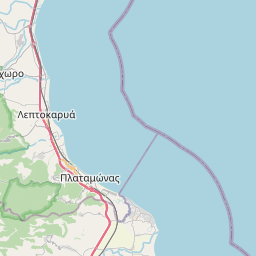
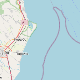
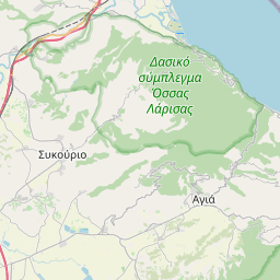
The indication on the map does not indicate the exact location of the property but the general area in which it is located. For any other information contact us.
Location on map
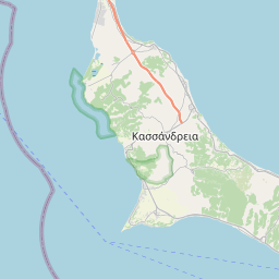


Leaflet © OpenStreetMap contributors