


- Code 53284
- For sale, for rent For sale
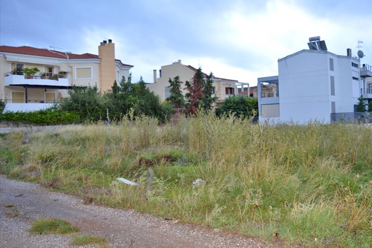
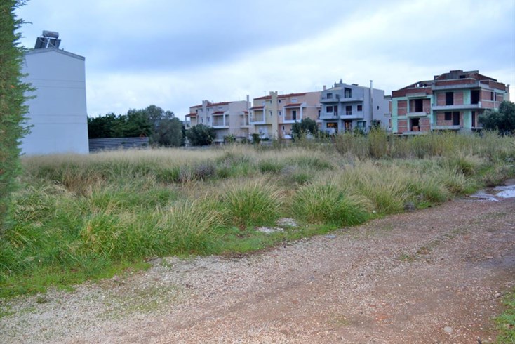
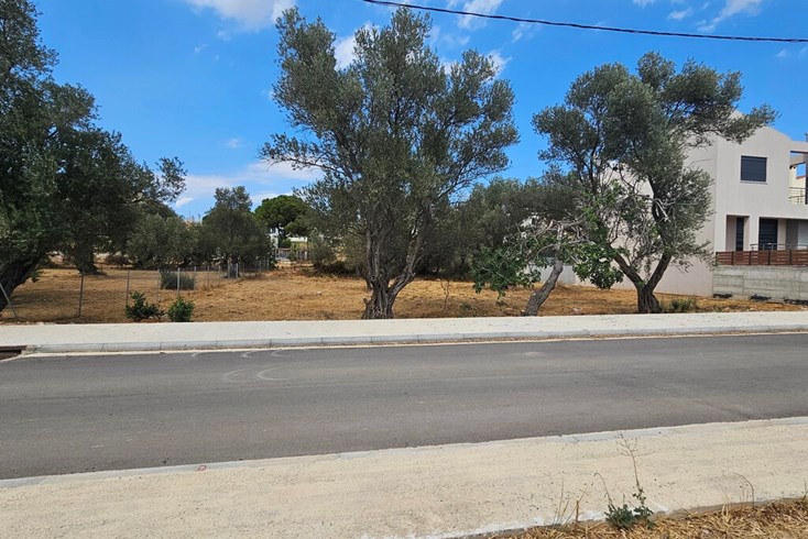
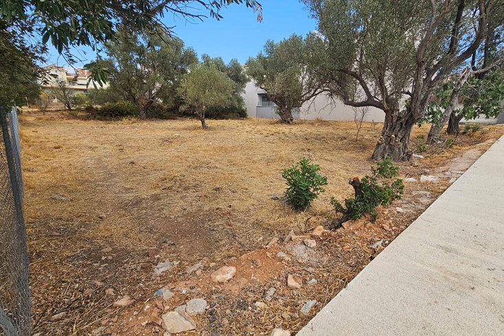
- Type Land
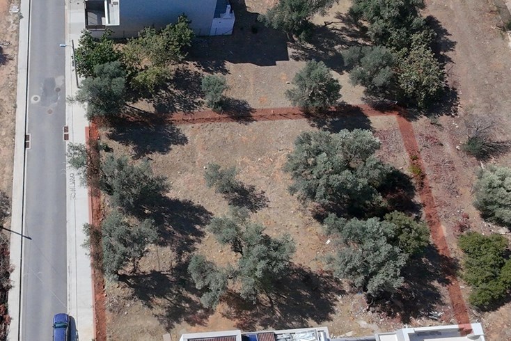
- Land size 470 m²
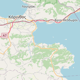
- Region Athens
- Location Attica (Greece) | Chalandri (Athens - North)
Details
- Floor area ratio: 1
- Distance from sea: 13000 m
- Distance from airport: 24 km
Description
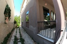
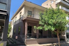
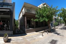
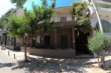
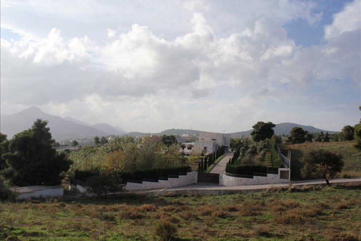
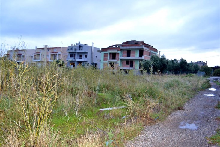
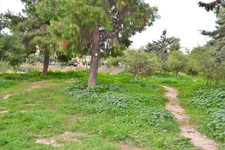
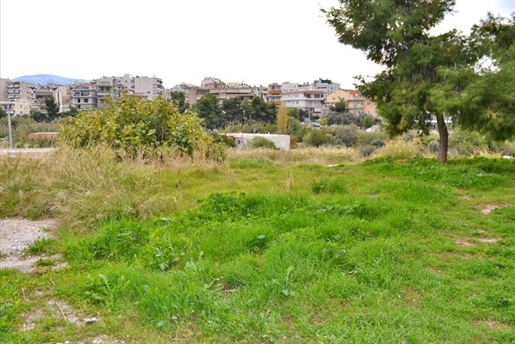
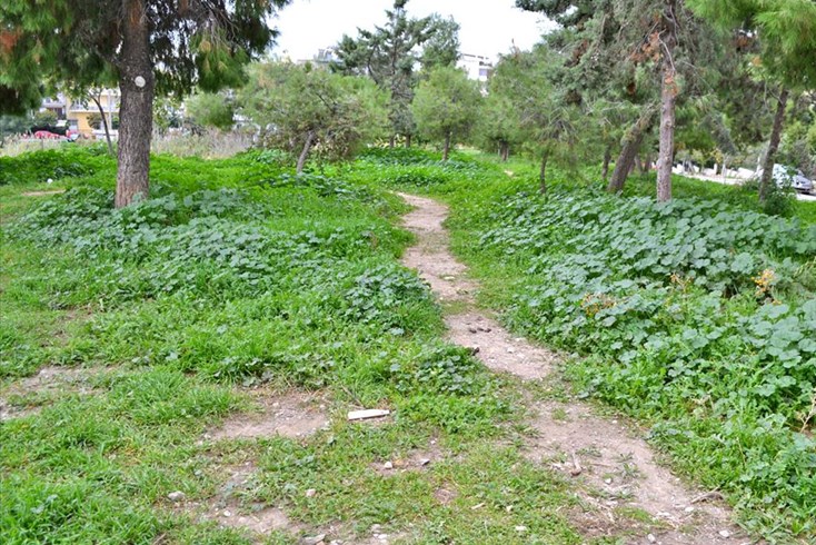
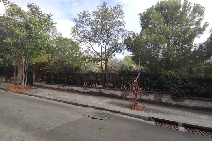
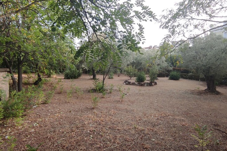
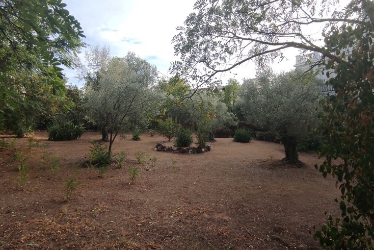
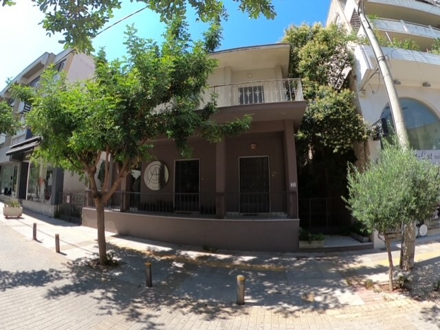
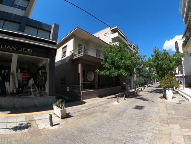
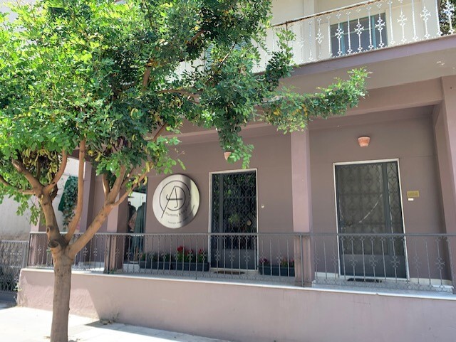
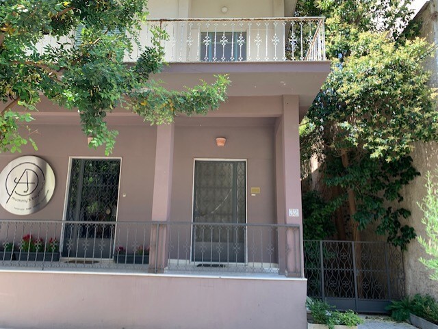
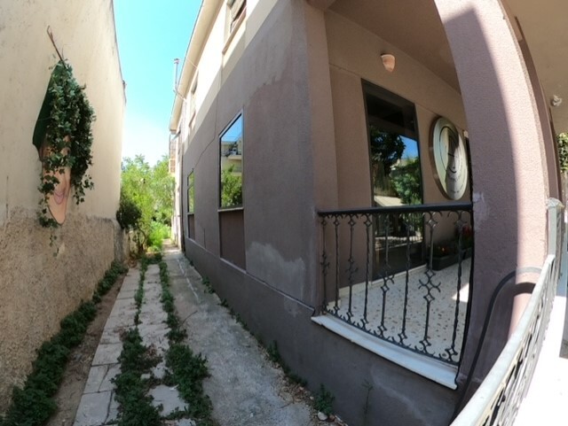
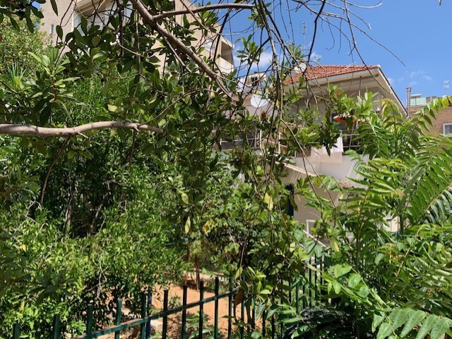
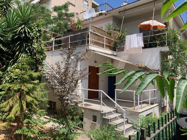
For sale fenced land of 470 sq.meters in Athens. Consists within the city plan. The territory has: construction, water supply, electricity supply. The plot qualifies for a construction permission. Building permission for 470 sq.meters.
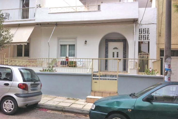
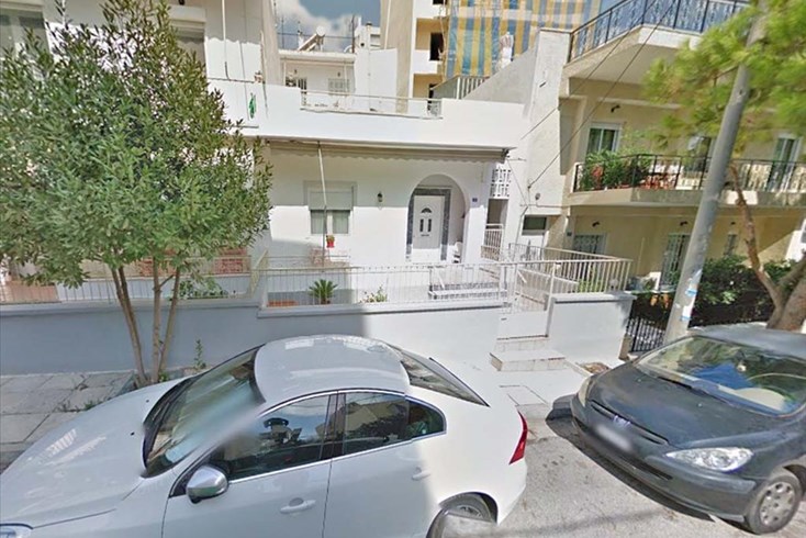
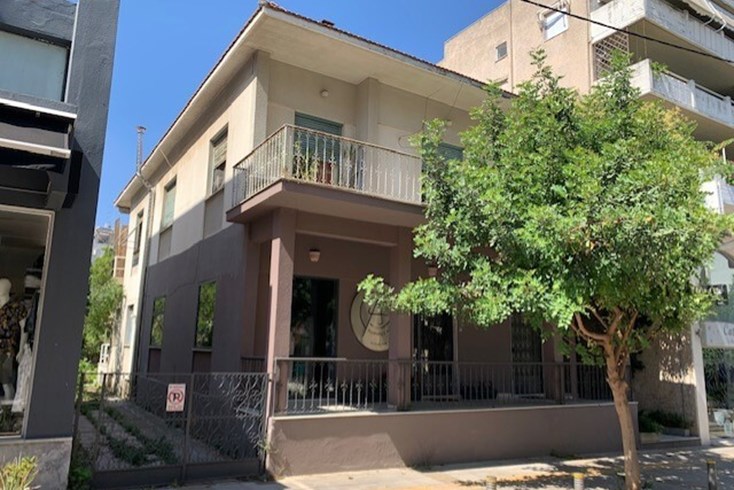
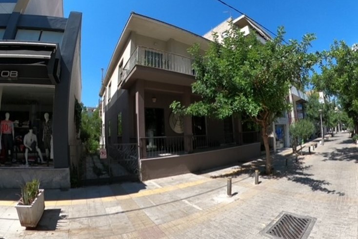
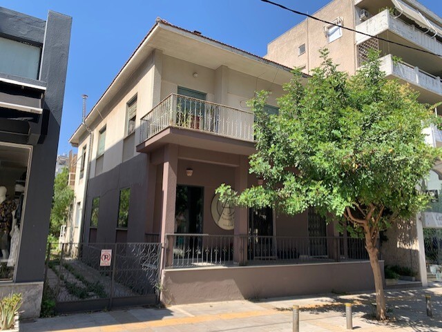
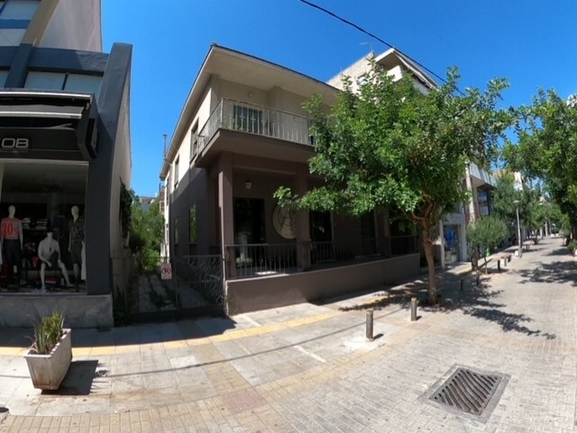
On the plot is also located a two-story building with an area of 120 sq.m total.
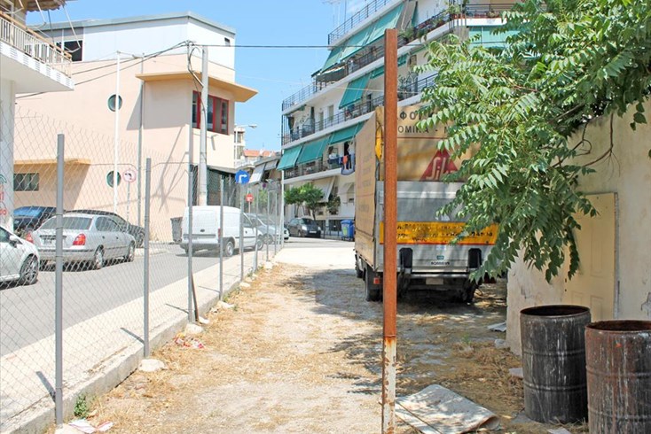
The plot of land is located in the center on one of the main streets of the Chalandri area.
The above information is based exclusively on information provided by the property owner to our company, which are subject to any typographical errors or price change by him.
PURSUANT TO LAW 4072/2012, IN ORDER TO VIEW THE PROPERTY, IT IS NECESSARY TO PROVIDE YOUR ID AND TAX NUMBER WHICH MUST ME INDICATED IN THE DEMONSTRATION AGREEMENT.
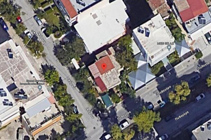
The indication on the map does not indicate the exact location of the property but the general area in which it is located. For any other information contact us.
Location
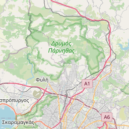
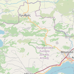


Leaflet © OpenStreetMap contributors
Similar realties


Subscribe to our newsletter
News
Real Estate in Greece
Useful links

© 2025 Grekodom Development. All Rights Reserved.