

- Code 59626
- For sale, for rent For sale
- Type Land
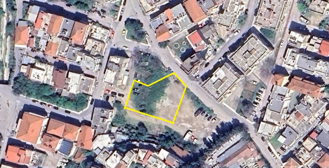
- Land size 1508 m²
- Region Thessaloniki
- Location Anthokipoi (Polichni) | Thessaloniki - Suburbs (Thessaloniki)
Details
- Floor area ratio: 1
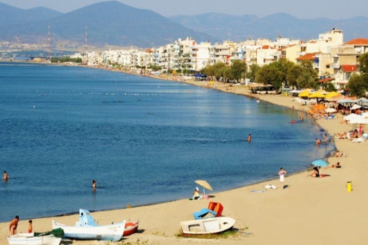
- Distance from sea: 4500 m
- Distance from airport: 17 km
Description
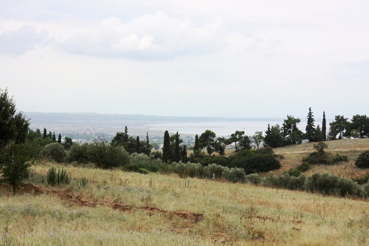
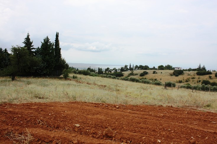
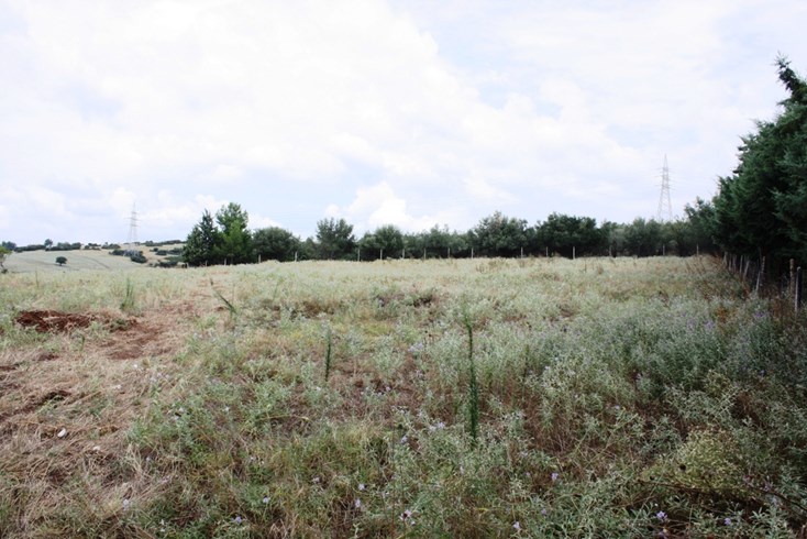
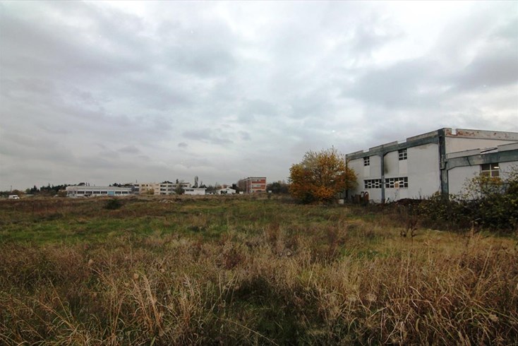
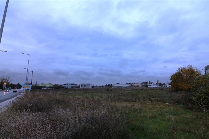
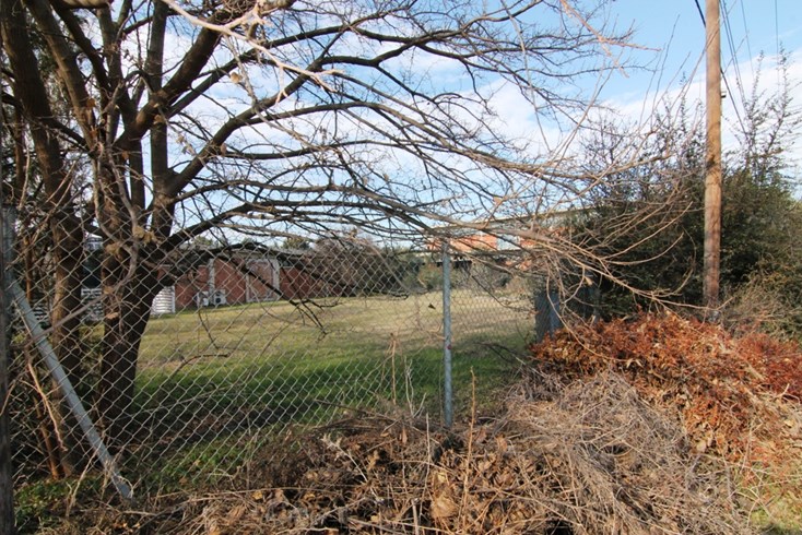
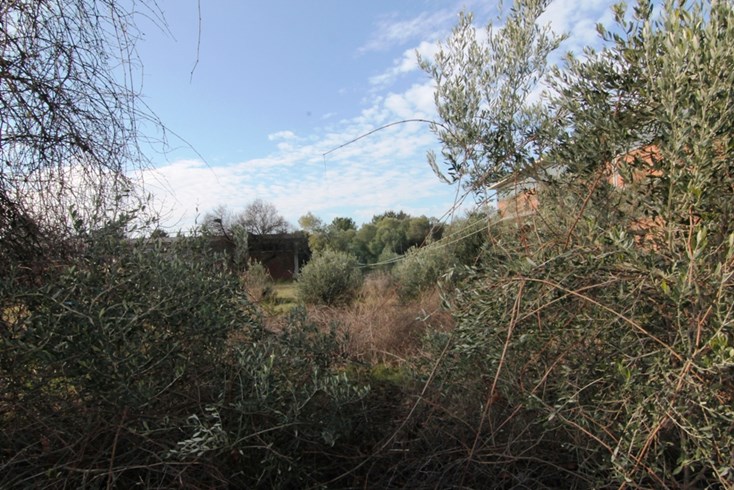
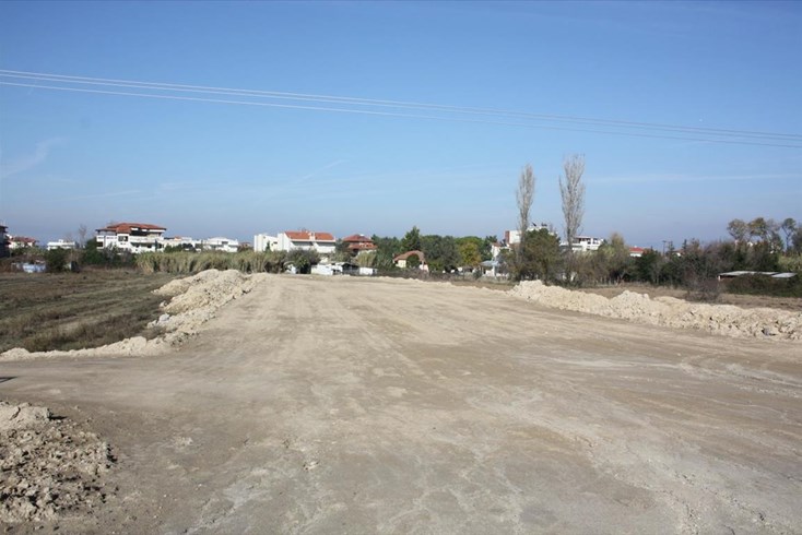
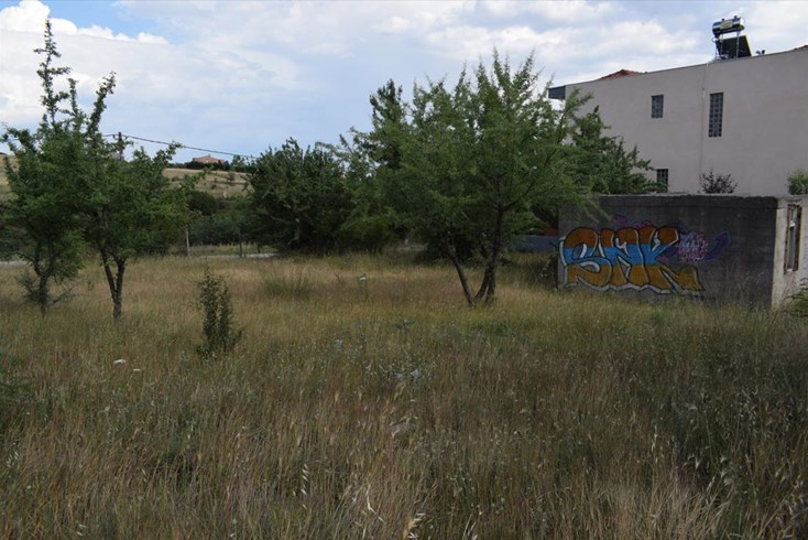
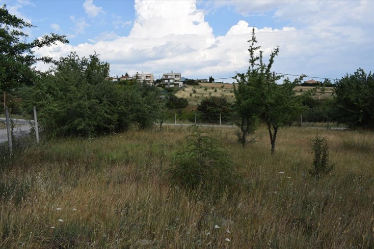
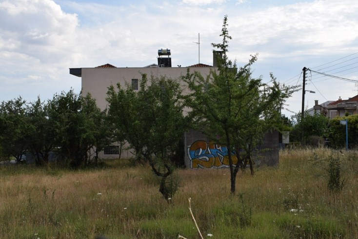
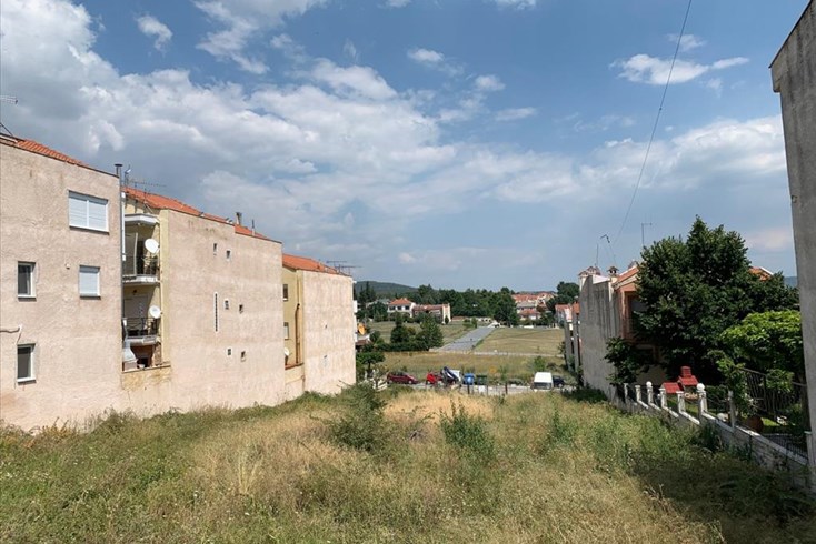
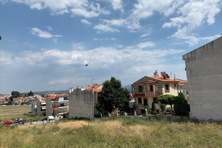
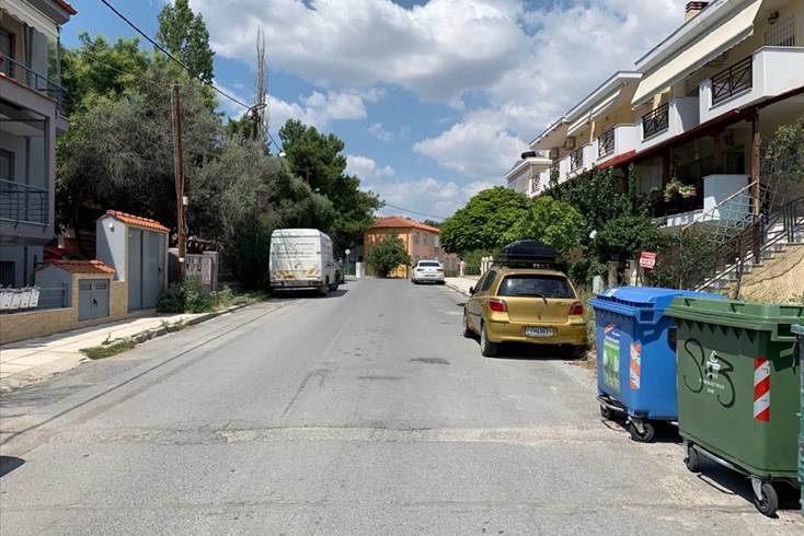
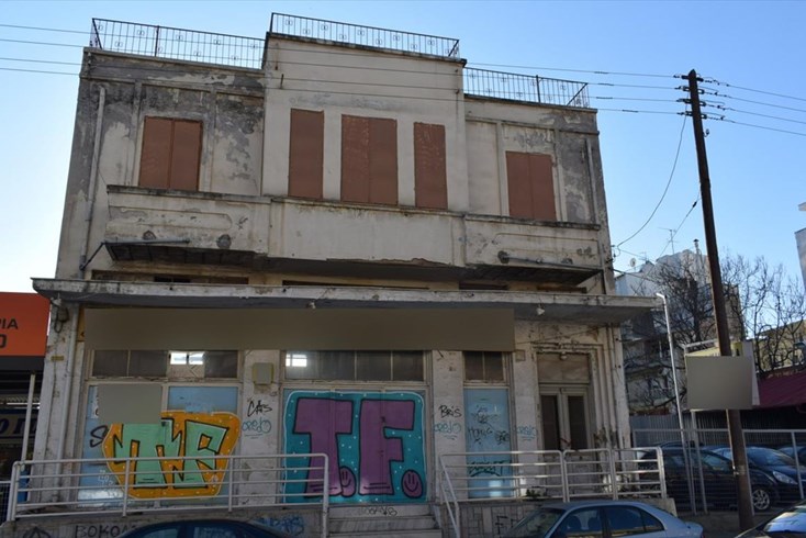
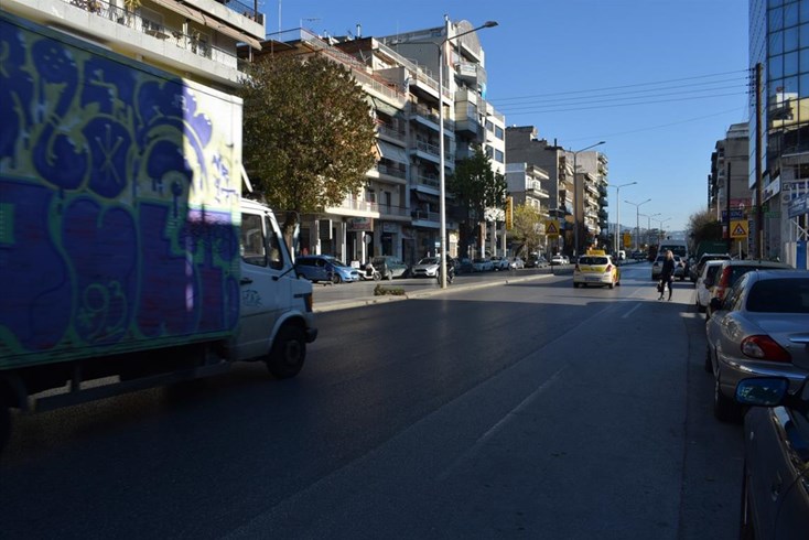
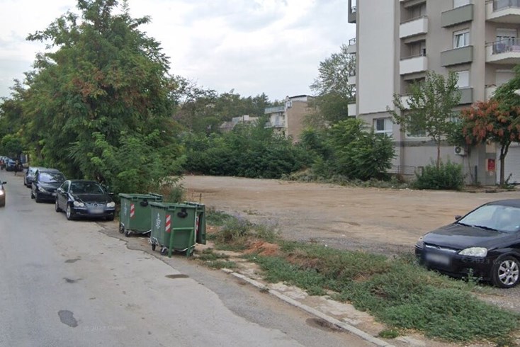
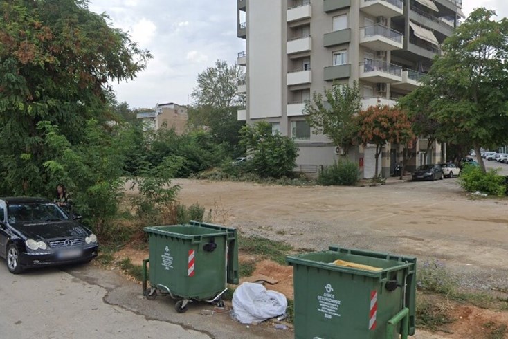
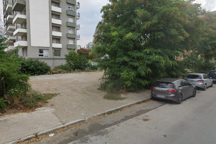
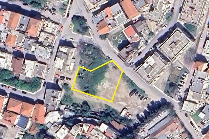
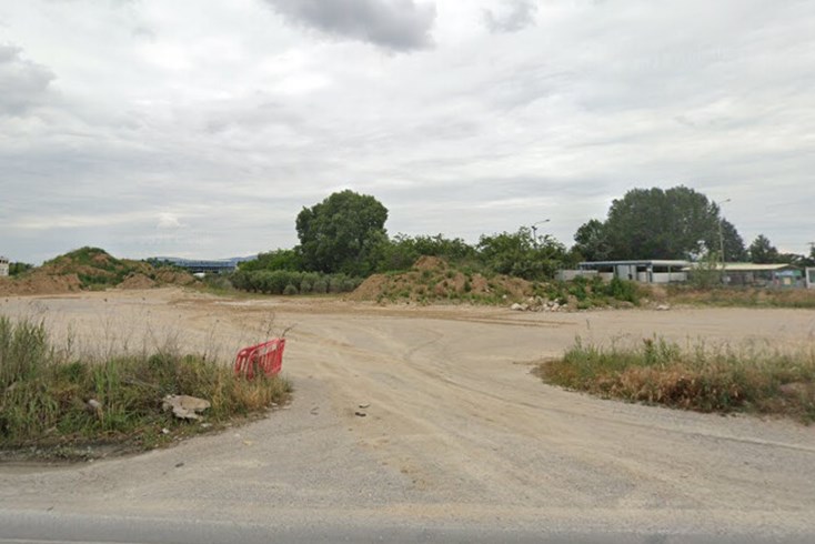
For sale land of 1508 sq.meters in Thessaloniki. Consists within the city plan. The plot qualifies for a construction permission. Building permission for 1508 sq.meters.
The above information is based exclusively on information provided by the property owner to our company, which are subject to any typographical errors or price change by him.
PURSUANT TO LAW 4072/2012, IN ORDER TO VIEW THE PROPERTY, IT IS NECESSARY TO PROVIDE YOUR ID AND TAX NUMBER WHICH MUST ME INDICATED IN THE DEMONSTRATION AGREEMENT.
The indication on the map does not indicate the exact location of the property but the general area in which it is located. For any other information contact us.
Location
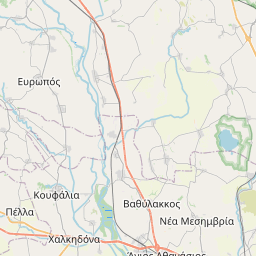
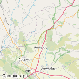
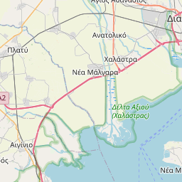
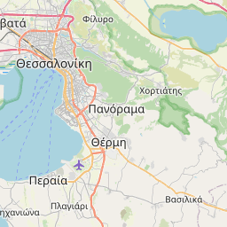

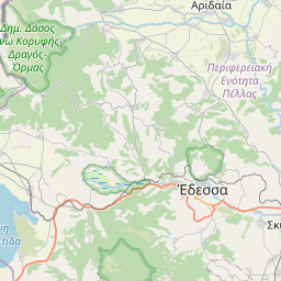
Leaflet © OpenStreetMap contributors
Similar realties
Recommended
For sale
320 000 € 76 €/m²
- Code 12731
- Sq. Meters 4200 m²
Recommended
For sale
855 000 € 282 €/m²
- Code 20474
- Sq. Meters 3025 m²
Recommended
For sale
855 000 € 427 €/m²
- Code 21016
- Sq. Meters 2000 m²
Recommended
For sale
580 000 € 223 €/m²
- Code 29441
- Sq. Meters 2600 m²
Recommended
For sale
550 000 € 654 €/m²
- Code 38591
- Sq. Meters 840 m²
Recommended
For sale
640 000 € 422 €/m²
- Code 38793
- Sq. Meters 1515 m²
Recommended
For sale
790 000 € 3872 €/m²
- Code 42888
- Sq. Meters 204 m²
Recommended
For sale
747 000 € 1862 €/m²
- Code 57528
- Sq. Meters 401 m²
Recommended
For sale
640 000 € 424 €/m²
- Code 59626
- Sq. Meters 1508 m²
Recommended
For sale
700 000 € 103 €/m²
- Code 62414
- Sq. Meters 6760 m²

Subscribe to our newsletter
News
Real Estate in Greece
Useful links

© 2025 Grekodom Development. All Rights Reserved.